featured item
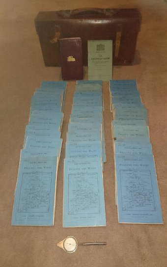
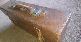
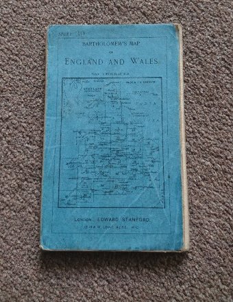
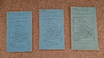
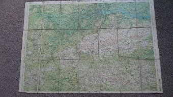
1904-1920 bartholomew’s “half-inch to mile” map set of england & wales
- View other items in:
- antique books
- atlases & maps
private seller
Enquire about this antique
private seller has 1 antique for sale.
click here to see them all
1904-1920 Bartholomew’s “Half-Inch to Mile” map of England & Wales. (Cover title:
Any questions please ask.
Antiques.co.uk Ref: GGTHQX7W
- Width (cm):
- 40
- Height (cm):
- 19
- Depth (cm):
- 11
Price: £500.00
Please note that this price may NOT include delivery charges which the seller may charge extra for.
private seller
Contact details
private seller
11 spinners way
Mirfield
West Yorkshire
Wf14 8pu
UNITED KINGDOM
T: +447872989380
E: ngemson@hotmail.com
11 spinners way
Mirfield
West Yorkshire
Wf14 8pu
UNITED KINGDOM
T: +447872989380
E: ngemson@hotmail.com


