


antique maps and cartography: maps
People of the past moved about their countries in different ways, and this influenced the way they interacted. It is also very important for looking at how the maps they made symbolized how they identified with their local area. Often maps of previous centuries show villages that are now non-existent, or curiosities such as landmarks and waypoints that are rather humorous.
-
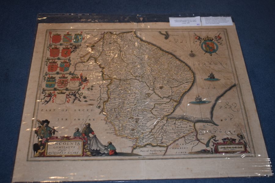
Lincoln Comitatus. Anglis Lincoln-Shire. by Joan Blaeu
lansdowne antiques, dorking, united kingdom
Lincoln Comitatus. Anglis Lincoln-Shire. by Joan Blaeu 1648. A very attractive and finely engraved 17th century map of Lincolnshire which was published in Joan Blaeu's Toonneel des Aerdrycks, oft Nieuwe Atlas or Vierde Stuck Der...
£325.00
view details -
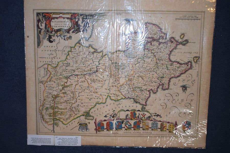
Penbochia J. Blaeu 1645-1648. Cardigan to Llanethly
lansdowne antiques, dorking, united kingdom
Penbochia J. Blaeu 1645-1648. Cardigan to Llanethly. This attractive map of Pembrokeshire and Carmarthenshire was published in "Guil. et Ioannis Blaeu Theatrum Orbis Terrarum, sive Atlas Novus - Part IV", Amsterdam, Joan Blaeu, 1645, 1646....
£350.00
view details